Google Earth’s Timelapse Video Shows Alarming Rate of Sea Level Rise in the Polar Regions From 1984 to 2020
Published Dec. 4 2024, 9:45 a.m. ET

Comparison of melting ice caps in a region in Greenland between 1984 and 2020.
Millions of years ago, Earth was in a state of “deep freeze,” too cold to sustain life. As time went by, greenhouse gases like carbon dioxide began emitting more vigorously than ever, eventually blanketing the planet at a temperature that prompted the evolution of human life. However, as humans proliferated, a deadly loot started materializing out of the mist. They started cutting down trees, burning the forests, and pilfering the lakes with gooey industrial chemicals. Google Earth’s 2021 timelapse on YouTube demonstrates the ill effects of human activities that have exacerbated the trouble of global warming over the years. With rapidly rising sea levels, nature is now lashing back at humans, threatening their very existence.
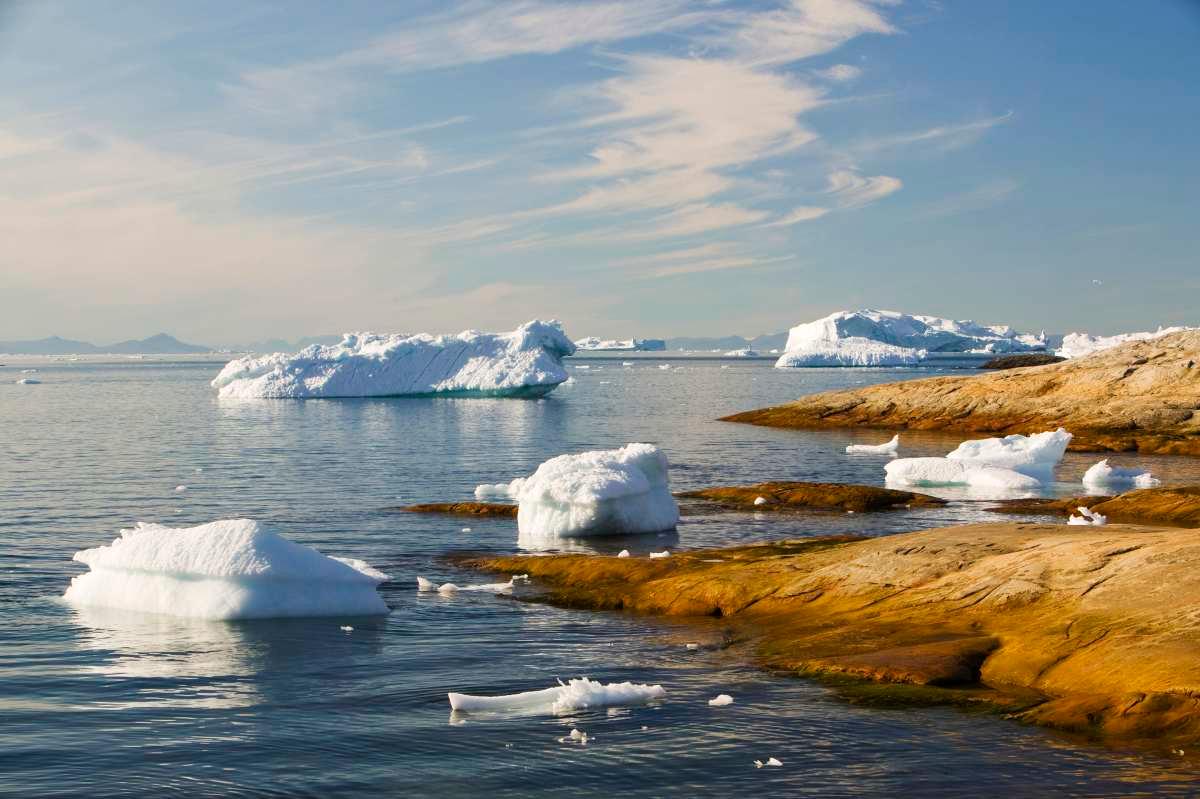
Glaciers in Greenland melting away causing a drastic rise in sea levels.
Earth Timelapse is a “global, zoomable video that lets you see how the Earth has changed since 1984.” It shows everything from the retreat of glaciers to the side effects of mining, the meandering rivers, exploding bushfires, deforestation, and coastal expansion. Google Earth rolls out a timelapse each year. This particular timelapse video focuses on the oceanic regions in the Northern Hemisphere including Newfoundland and Labrador in Canada, Columbia Glacier in Alaska, USA and Mylius-Erichsen Land in Greenland.
As the video zooms into Earth’s blue interiors, the screen displays the message, “The Arctic is warming at twice the rate of the rest of the globe.” Moving on, the video shows patches of brown Earth, cracking and turning barren and parched, as well as melting ice caps. “Today, Greenland is losing ice seven times faster than it did in the 1990s,” reads another overlay message. Meanwhile, the video shows the white serape of ice slowly shrinking atop the mountains, eventually dissolving into nothingness and leaving hills bare.
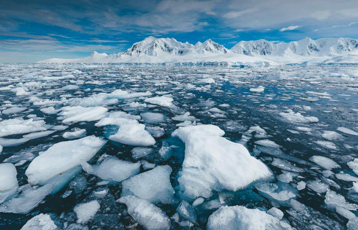
Iceberg sits still on a calm day in Antarctica
The timelapse mentioned that sea levels are rising faster than any time before in the last century- 3.6 mm per year, to be precise. “If the current rate of warming continues,” said the overlay, “sea level rise will put more than 800 people at risk by 2050.” Also, the jaw-dropping visuals of "projected sea-level rise" if the Earth warms 2 degrees Celsius show major cities like London, New York, and Japan pathetically sinking into the water. “Sea level rise may be inevitable. But this should not lead us to inaction,” the video warned. “The sooner the emissions are cut, the greater the reduction of future sea level rise," it added.
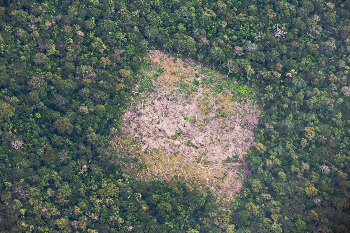
Aerial of Amazon forest clear-cutting, Eastern Lowlands, Bolivia
The timelapse was created from over 24 million satellite images taken between 1984 and 2020, according to BBC. "As far as we know, time-lapse in Google Earth is the largest video on the planet, of our planet," the company told BBC. Google also told CNN that it took two million processing hours across thousands of machines in Google Cloud to create this striking animation. For the project, Google collaborated with NASA, the United States Geological Survey’s Landsat program, the European Union’s Copernicus program, and Carnegie Mellon University’s CREATE Lab, which developed the technology.
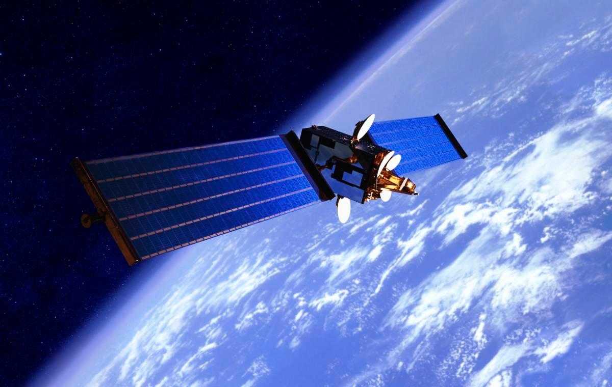
Communication satellite over the Earth
With pockets of changing climatic conditions spanning three decades, encapsulated in 3-minute imagery provides an incredible tool for climate change scientists and meteorologists, with which they can assess their predictions and solutions much better. "We hope that this perspective of the planet will ground debates, encourage discovery, and shift perspectives about some of our most pressing global issues," Google said to BBC.