Climate Experts Predict El Niño Will Be "Moderate to Strong" by Late Fall
Published Sept. 25 2023, 1:01 p.m. ET

The Gist:
- El Niño is a climate pattern that describes warmer-than-average sea temperatures in the Pacific Ocean.
- Climate experts, especially those with the National Oceanic and Atmospheric Administration (NOAA), warn that El Niño is expected to extend longer than usual through March 2024.
- There is currently a 71 percent chance that 2023 El Niño is getting stronger — but this doesn't necessarily mean the change will be drastic.
Chances are, even if you're not a meteorologist, you've heard the phrases "El Niño" and "La Niña" before. These terms refer to naturally occurring climate patterns known as the El Niño-Southern Oscillation (ENSO) cycle. El Niño and La Niña have global impacts on hurricanes and wildfires, some of which have been exacerbated by climate change.
Typically, El Niño and La Niña occur every two to seven years and last anywhere between nine and 12 months. But is El Niño getting stronger? Here's what to know about El Niño, and what it means for fall and winter weather.

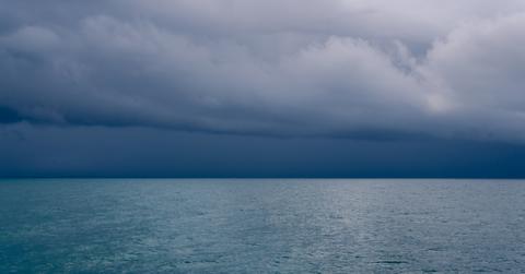
El Niño is a climate pattern of warmer-than-average temperatures in the Pacific Ocean.
Is El Niño getting stronger?
In June 2023, NOAA announced that El Niño had arrived and was expected to "gradually strengthen into winter." In short: yes, El Niño is getting stronger.
Climate scientist Michelle L'Heureux of the Climate Prediction Center said in a statement, "Depending on its strength, El Niño can cause a range of impacts, such as increasing the risk of heavy rainfall and droughts in certain locations around the world."
On Sept. 14, 2023, the National Weather Service Climate Prediction Center, in collaboration with NOAA, released an updated statement confirming that not only is El Niño gaining strength, but "with a greater than 95 percent chance [of continuing] through January — March 2024." The statement also said that odds of a "strong" El Niño have increased by 71 percent.

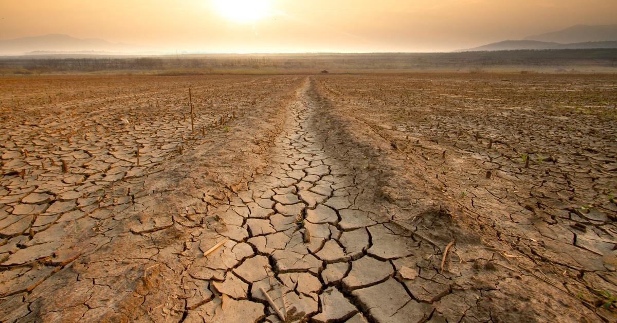
Strong El Niños can create dry conditions in the northern U.S.
What is an El Niño winter?
While the National Weather Service Climate Prediction Center statement clarified that a "strong El Niño does not necessarily equate to strong impacts locally, with the odds of related climate anomalies often lower than the chances of El Niño itself," no two "El Niño winters" are the same, despite having some traits in common.
According to NOAA, an El Niño winter typically makes the northern U.S. and Canada "dryer than usual" while simultaneously causing the U.S. Southeast and Gulf Coast to become "wetter than usual" and have increased flooding.
CNN also stated that colder weather plus more frequent precipitation could increase freezing rain, snow, and sleet in the South. The outlet noted the last time NOAA had an El Niño winter of the same forecast was the winter of 2009-2010, which was notorious for multiple blizzards on the East Coast and cold temperatures in the South and Coastal areas.