A La Niña Winter Is Almost Here — But What Does That Mean?
Published Dec. 2 2020, 11:57 a.m. ET

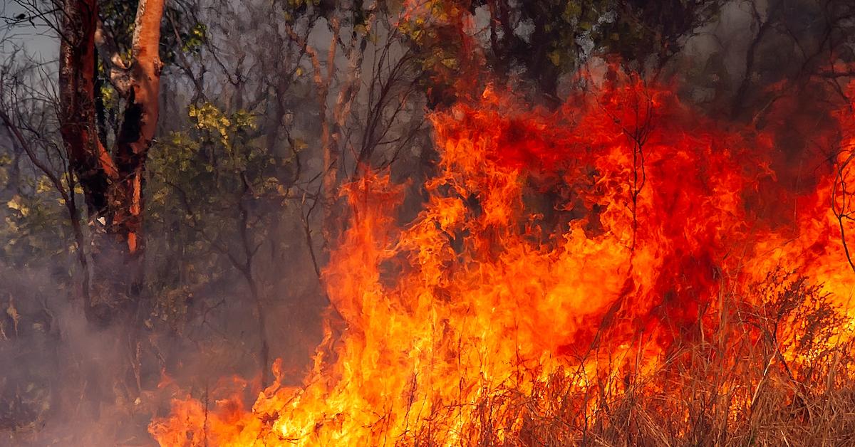
Between the seemingly never-ending pandemic, relentless wildfires across Australia and California, and an undeniably turbulent (yet thankfully victorious) U.S. presidential election, 2020 has been a force to be reckoned with, to say the least. Now, you may be hearing we are heading into a La Niña winter for 2020-2021, but what exactly does that mean in regards to Planet Earth's weather?
La Niña affects the weather in more ways than one, depending on your location. Keep reading for everything you need to know regarding the recurring natural phenomenon, how it's changed with the affects of global warming, and what we can expect weather-wise for the remainder of this highly unusual year.

What is a La Niña winter? This year, it's been offset by global warming.
La Niña is a naturally recurring weather pattern that takes place every three to five years, according to Pacific Marine Environmental Laboratory. It generally lasts anywhere from nine to 12 months, but it can sometimes last for up to two years. During La Niña, oceanic temperatures throughout the central and eastern tropical Pacific Ocean plummet, which tends to affect the winter weather and hurricane season in various ways, depending on where in the world you live.
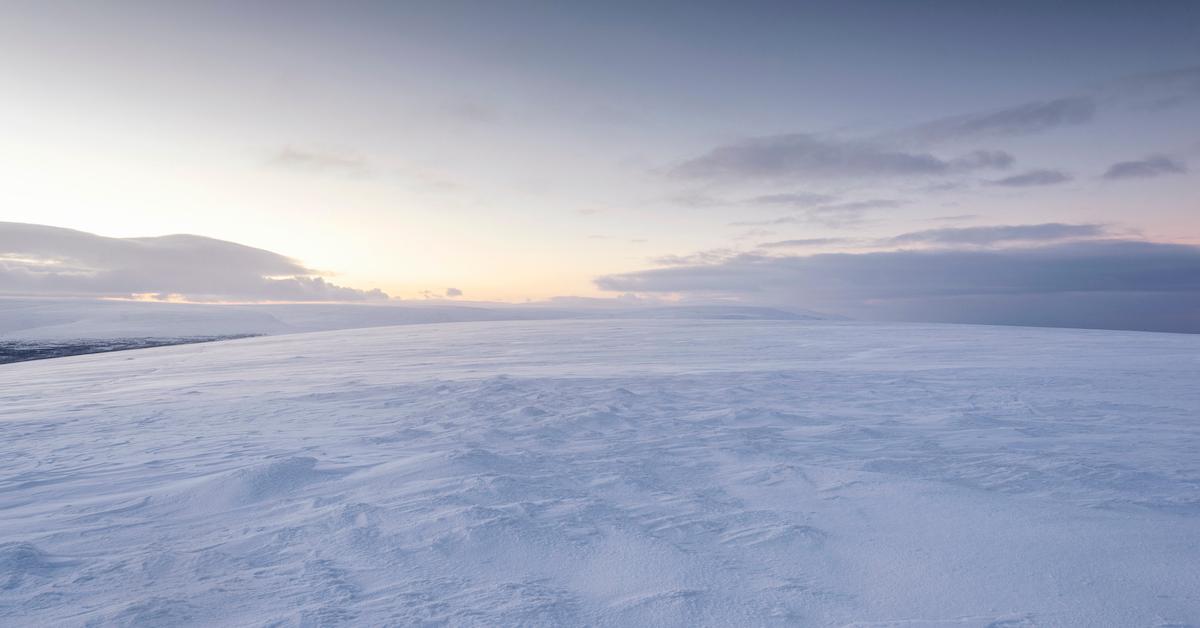
Globally, La Niña strengthens Eastern trade winds, lowers temperatures off South America's West Coast and along the equator, and increases moisture in Australia and Indonesia. In the U.S., the Southwest faces unusually dry conditions throughout the winter, the Pacific Northwest is generally wetter and colder (aka more snow storms), and the Southeast is unusually hot (beach vacay in Florida, anyone?). However, for the most part, La Niña cools things down and brings more snow.
Despite La Niña's usual cooling effects, however, 2020 has been recorded as the hottest year on record, according to CNN. The World Meteorological Organization's (WMO) released its annual climate report on Wednesday, Dec. 2, which showed incredibly worrying data. Ultimately, La Niña's "natural air conditioning" effect has been counteracted by heat trapped in the atmosphere, due to global warming. Yikes.

La Niña's weather patterns also greatly intensify hurricane season, so be prepared.
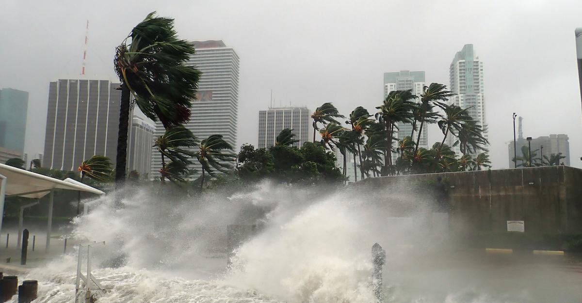
Unfortunately, La Niña is known to intensify hurricane season. During La Niña, the atmosphere's westerly winds are greatly weakened and the height of vertical winds (aka vertical wind shears) lessen tremendously. Therefore, more hurricanes tend to form during La Niña's hurricane season, according to National Weather Service. With a greater number of hurricanes, stronger hurricanes are able to form off the U.S. coastlines as well as around the Caribbean islands.
La Niña and El Niño also influence where hurricanes form. Apparently, La Niña causes an influx of hurricanes to form in the deep tropics. This is because it creates more tumultuous weather conditions in North Africa, which causes bad weather (such as tropical storms) to strengthen, and eventually travel toward the U.S.

We're definitely hoping for a mild winter and a calm hurricane season after these last few months, but with the bad luck 2020 has brought thus far, we're bracing ourselves for the worst.