Hurricane Helene: What You Need to Know About the Storm’s Forecast
Experts predict the hurricane will leave a wake of destruction in its path.
Published Sept. 26 2024, 1:41 p.m. ET

A storm that began in the northwestern region of the Caribbean Sea on Sept. 24, 2024, transformed into the eighth named hurricane of the season, Hurricane Helene, in just two days.
Experts say warm ocean temperatures played a huge role in making the storm's rapid progression possible, creating a beast of a hurricane capable of producing 20-foot storm surges in some regions.
Those same experts blame human-led climate change for the hurricane's strength since humanity's reliance on fossil fuels continues to produce excessive amounts of greenhouse gas emissions, contributing to the warming of the Earth's atmosphere.
Keep reading to find out where Hurricane Helene is expected to make landfall and what you need to know if you're in the path of the storm.
Where will Hurricane Helene make landfall when it hits the U.S. coast?
As of 11:09 a.m. ET on Thursday, Sept. 26, 2024, experts with The Weather Channel predict Helene will make a direct hit on Florida's west coast, specifically along the Big Bend. It's expected to make landfall Thursday night. Conditions seem ripe for this Category 2 storm to become a Category 3 hurricane by the time it hits, something meteorologists are warning could be "catastrophic" for certain areas within Helene's path.
The National Weather Service describes a Category 3 storm as one with winds that reach between 111-129 miles per hour. At this force, winds can blow a roof off and uproot or snap trees, creating dangerous conditions on the ground both during and after the storm ends.
The wind isn't the only danger for this storm. The Weather Channel notes that Helene is capable of producing intense storm surges and flooding, with some areas expected to see water levels rise up to 20 feet.
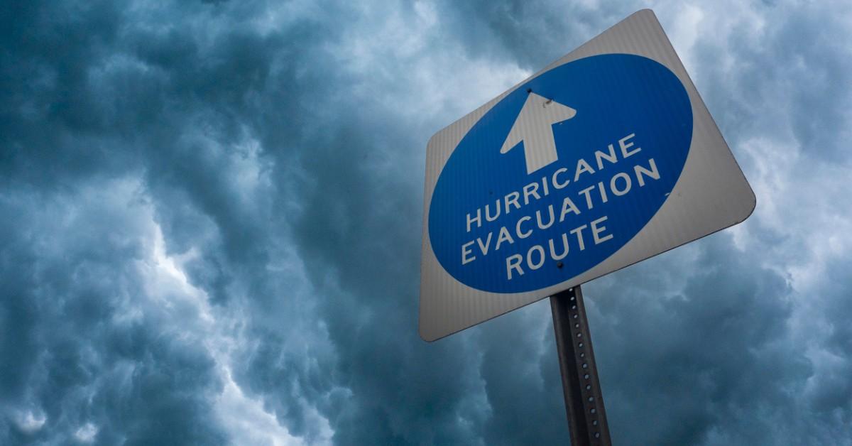
As such, mandatory evacuation was ordered throughout a large swath of Florida, including Tampa, Gainesville, Cedar Key, and Tallahassee.
The effects of the storm are predicted to reach well inland thanks to the storm's size. The Weather Channel's early predictions include flooding and the risk of mudlines for the lower regions of the Appalachians, which experienced heavy rainfall in the days leading up to Helene's predicted arrival.
Tropical storm warnings have been posted all the way up into North Carolina.
How fast is Hurricane Helene moving?
As of 11:45 a.m. ET on Thursday, Sept. 26, the Associated Press said the storm was moving at 14 miles per hour, which The Weather Channel calls the above average when it comes to hurricane speed.
Of course, anything can change in an instant, including Helene's path, which is why all of the experts are warning everyone in and around the hurricane's path to stay weather-aware and to follow any emergency evacuation orders as soon as they're issued.